Aim
Spectroscopy and hyperspectral remote sensing enables to retrieve very detailed spectral information about a certain surface in dense bandwith intervalls. Information on the “spectral fingerprints” of surfaces is then available in a near-continuous manner. This allows for the differentiation of materials, such different geologic surfaces, different urban materials, or plants of different composition and vigor. Especially field- and laboratory spectroscopy has shown many benefits, as measurements can be carried out in a controlled environment, and can be directly visualized and explained. This course provides you insights into practical experiments using a field spectrometer, and subsequent data analysis to assess key environmental parameters such as plant health, soil moisture content, and geologic composition.
Content
The content of this course includes both the theoretical background of field and imaging spectroscopy, as well as practical experiments and subsequent data analysis. In particular, we will adress: the theoretical background of field and imaging spectroscopy / general reflectance and transmittance properties of plant leaves, canopies and soils / the quantification of biophysical and biochemical properties using spectroscopic measurements, feature parametrization and regression analysis / the advantages and challenges of existing and planned hyperspectral spaceborne sensors
Coding
Software
Techniques
Content
General Course News and Updates
UAV application for remote sensing course started
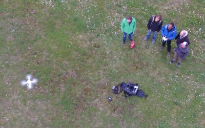
The course on UAV application for Remote Sensing started successfully. The weather was good enough to do some first flights. In the next weeks and months more flights will be undertaken and data collected for different fields sites in order to gain more information...
application deadline in 7 days
The application deadline for the upcoming winter term is approaching. Apply within the next 7 days here: http://eagle-science.org/apply - application deadline is May 15th, further details about needed documents are listed on the application page. Learn within EAGLE...
course on object oriented remote sensing analysis
The new term started with the course “Object-oriented image analysis”. It is a hands-on seminar covering eCognition by Dr. Michael Thiel and Dr. Christian Geiss. Christian is an invited guest lecturer from DLR’s Remote Sensing Data Center (Department: Geo-Risks and...
application deadline for winter term 2017 is approaching
Applications for the EAGLE M.Sc. program are accepted until May 15th 2017 for the next winter term. The next application deadline will be only next year, again on May 15th 2018. You need the following documents for your application: a cover letter stating your...
news coverage of one of our students in the University press
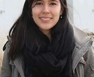
One of our students, Pilar Endara, was interviewed by the news team of the University of Würzburg. She talked about her background, the reasons why she studied in Germany, her experiences and her plans for the future. Moreover her reasons why she studies EAGLE and her...
testing UAV and D-GPS application in the Steigerwald
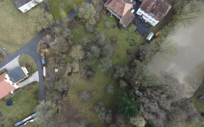
one of our field sites in the Steigerwald For several upcoming EAGLE courses we visited potential field sites and tested our equipment. During this first field work of the year our UAV and D-GPS data collection were tested in the Steigerwald at the research station of...
M.Sc. handed in on animal movement and remote sensing
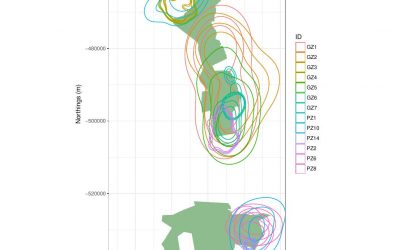
The M.Sc. thesis “Can animal movement and remote sensing data help to improve conservation efforts?” by Matthias Biber M.Sc. student within the Global Change Ecology program handed in his thesis. He explored the potential of remote sensing data to explain animal...
MSc topic on wetland modeling
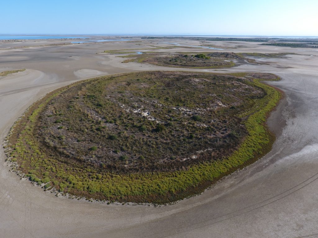
M.Sc thesis (+ a two-month internship): Agent-based modeling to understand Mediterranean wetland (former saltworks) dynamic based on multiple remote sensing data The Camargue’s former saltworks is a 6500-ha site located at the Mediterranean coast in southern France....
EAGLE students webpage is now online
Our EAGLE students setup their own webpage at http://students.eagle-science.org! Read about their background, motivation and expectations concerning the EAGLE M.Sc. study program. Moreover, the EAGLE students will post news about ongoing social as well as scientific...
EAGLE is part of the Copernicus Academy Network
We are happy to receive the notification that the EAGLE training program is endorsed by the Copernicus Academy Network. This network aims to foster the use and benefits of Copernicus. The EAGLE program applied within the DLR and University Wuerzburg network to be part...

