Maninder Singh Dhillon handed in his M.Sc. “Comparing the performance of crop growth models using synthetic remote sensing data at DEMMIN, Germany” supervised by Thorsten Dahms with the first and second supervisors Martin Wegmann and Christopher Conrad, respectively.
His M.Sc. defense will be on Monday 18th at 2pm in room 0.004 (Oswald-Kuelpe Weg). Read the abstract of his M.Sc. for more details about his research project.
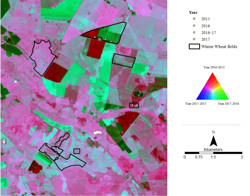
Abstract: Climate change, natural resource degradation, and population growth are increasingly challenging food security. Climatic effects such as warming temperatures, and decrements in soil moisture have already stagnated the winter wheat yields in many parts of the world. The present study was conducted over three years from 2015 to 2017 on a main agricultural production region of North-East Germany. Five widely used crop models, namely, WOFOST. CERES, Aqua crop. LUE and CropSyst, are compared to predict the biomass of winter wheat crop. The study stresses the use of remote sensing with crop growth models, as they lack spatial information on the actual conditions of each field or region. It also elaborates the concept of data fusion, in which both Landsat (30 m) and Modis (500 m) are combined to get synthetic remote sensing data of 30-meter spatial and one-day temporal resolution, in crop growth modeling with its contribution to crop growth models. Measurements of the biophysical parameters such as Leaf Area Index (LAI), Canopy Cover (CC), Fraction of Photosynthetically Absorbed Radiation (FPAR) were grouped according to the phenology using the BBCH characterization (Biologische Bundesanstalt, Bundessortenamt und Chemische Industrie). The analysis was carried out for winter wheat during the years 2015 to 2017 and included a detailed comparison of the simulated and measured crop biomass as well as an impact of climate parameters such as temperature stress, soil moisture stress and vapor pressure deficit (VPD) on crop growth, and an evaluation of the modelled crop biomass. The study shows that the models (Aqua crop, CropSyst, and LUE) that require fewer input parameters to simulate crop biomass are well suitable and easier to implement.
![[spotlight] Lecturer Spotlight: Martin Wegmann](https://eagle-science.org/wp-content/uploads/2026/07/Martin_Wegmann_EAGLE_lecture_2026-400x250.jpg)


