Aim
The module addresses methods on how Earth Observation and the use of geoinformation can support different fields of land and water management. The students will be guided to gain knowledge in selected practical examples.
Content
A general introduction on the subject, which strongly integrates large fields of environmental sciences and studies, is given. The students select topics in which remote sensing and geoinformation can significantly contribute parameters for answering relevant management questions. The topics include the derivation and use of parameters for monitoring land and/or water resources and examples how they can actually implemented in analytical or predictive models, or in indicator systems. The examples may include the management of the resources in rangelands, croplands, irrigation and drainage systems, river catchments, urban areas, or others. Focus may be set on special geographical settings. Depending on the selected topics and scale relevant Earth Observation parameters can include land cover and land use mapping, biophysical variables (LAI/FPAR/Chlorophyll, evapotranspiration , etc.), biomass or crop yields, soil moisture, phenological metrics and other dynamic parameters.
Coding
Software
Techniques
Content
General Course News and Updates
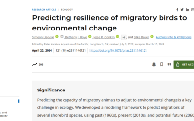
publication by our EAGLE Ben Lee
Our EAGLE Ben conducted an internship during his EAGLE studies which led to a new publication on "Predicting resilience of migratory birds to environmental change" jointly with the Alfred Wegener Institute Helmholtz Centre for Polar and Marine Research, Section Polar...
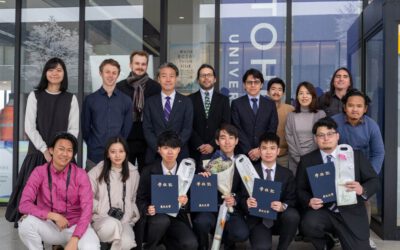
EAGLE student Konstantin Müller completed an internship at IRIDeS in Japan
Our EAGLE M.Sc. student Konstantin Müller successfully completed a three-month internship at The International Research Institute for Disaster Science (IRIDeS) in Japan. IRIDeS is a leading institute dedicated to advancing research and understanding in the field of...
Internship Presentation: Application of Geospatial Science in Reinsurance
On Tuesday, May 07, at 12:00 Ronja Seitz will present her internship presentation on "Application of Geospatial Science in Reinsurance " in seminar room 3, John-Skilton-Str. 4a. From the abstract: I used the opportunity of my mandatory internship to enter an entirely...
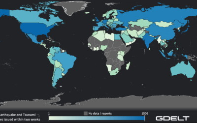
Internship Report on Tuesday, April 30 at 14:00
On Tuesday, April 30 Konstantin Müller will present his internship " GDELT News Analysis of the Noto Earthquake via ERNIE" at 14:00 in 01.B.03, John-Skilton-Str. 4a. : From the abstract: The analysis of socioeconomic data has gained increasing importance. The exchange...
EAGLE MSc. graduation
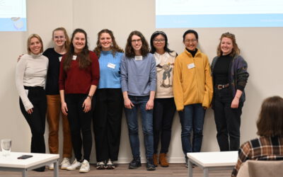
We are very happy to celebrate again the graduation of some of our EAGLE M.Sc. students. The candidates already handed in their M.Sc. thesis a while ago but just recently we had our EAGLE graduation party and enjoyed to celebrate this important milestone with all...
Master Thesis Defense: Unmasking the Shadow Economy in Ghana: Mapping The Distribution of Umbrella Covered Informal Vendors In Kumasi
On Tuesday, April 30, at 13:00 Prince Lartey Lawson will present his master thesis on " Unmasking the Shadow Economy in Ghana: Mapping The Distribution of Umbrella Covered Informal Vendors In Kumasi " in 01.B.03 Meeting Room 1st Floor, John-Skilton-Str. 4a. From the...
Master Thesis Defense: “Flood susceptibility mapping using remote sensing and geospatial data in West Africa “
On Tuesday, April 30, at 12:00 Wilmer Fabián Montién Tique will present his master thesis on " Flood susceptibility mapping using remote sensing and geospatial data in West Africa " in 01.B.03 Meeting Room 1st Floor, John-Skilton-Str. 4a. Abstract: Floods in West...

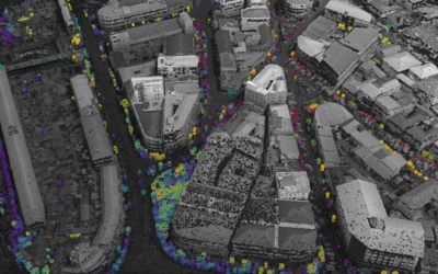
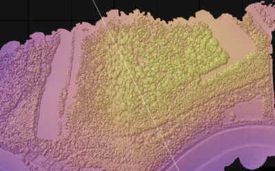
EAGLE workshop on Earth Observation application
Our first EAGLE workshop on Earth Observation applications covered various topics. After a heartily welcome by Tobias Ullmann did more than 50 participants listen to the following talks: Ása Aðalsteinsdóttir: “SAR Monitoring in Iceland” Katrin Wernicke:...

DGPF award for our EAGLE MSc Luisa Wagner
We are very happy to congratulate our former EAGLE student Luisa Wagner for the 2nd prize of the Karl‐Kraus‐Nachwuchsförderpreis 2024. Luisa received this award for her M.Sc. thesis which she handed in early last year on "Analysis of ice shelf front dynamics in Pine...

Master Thesis Defense: “Modelling the Spatio-Temporal Suitability of Urban Environments for Aedes Aegypti Mosquitoes based on their Bio-Ecological Characteristics in Rio de Janeiro “
On Friday, March 22, at 12:00 Rutendo Mukaratirwa will present her master thesis on " Modelling the Spatio-Temporal Suitability of Urban Environments for Aedes Aegypti Mosquitoes based on their Bio-Ecological Characteristics in Rio de Janeiro " in seminar room 3,...