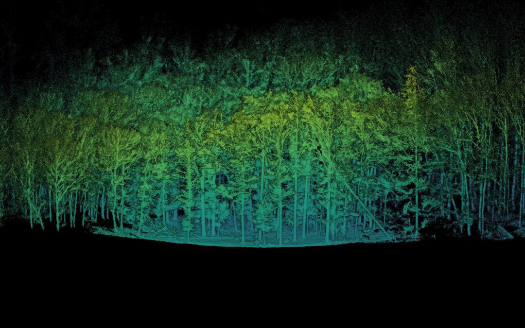
LiDAR remote sensing
LiDAR remote sensing(04-GEO-OMA4-242-m01) Lecturer Julia Rieder ECTS 5 ECTS Aim The course provides a practical introduction to LiDAR technology and point cloud analysis. Students gain hands-on experience with LiDAR data, from acquisition principles to...