
Urban Remote Sensing
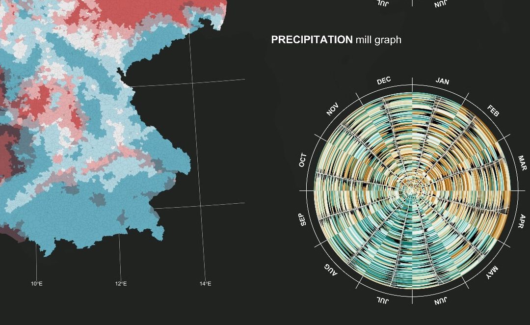
Urban Remote Sensing04-Geo-URB2 Lecturer Henri Debray ECTS 5 ECTS Aim Aim of this course is to provide you with an overview on geographic processes of urbanization, the related demographic and structural changes of cities, and data analyses methods using remote...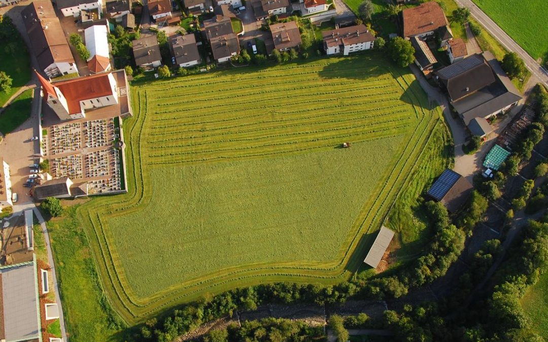
Theory and practice of UAS operations and methods
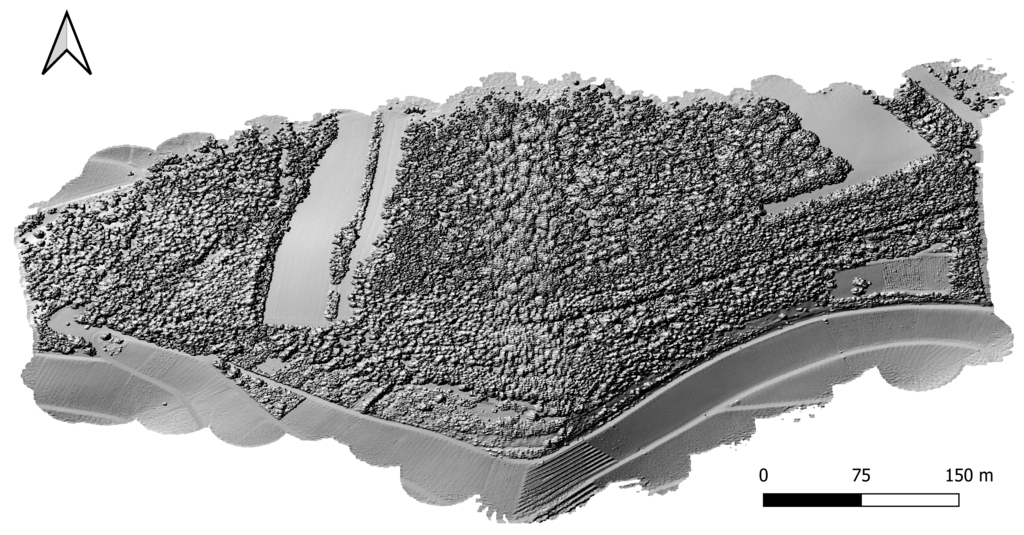
Theory and practice of UAS operations and methods04-GEO-OMA14 Lecturer Luisa Pflumm Antonio Casteñada-Gómez ECTS 5 ECTS Aim The potential and challenges of Unmanned Aerial Vehicles for monitoring our environment is covered using theoretical as well as practical...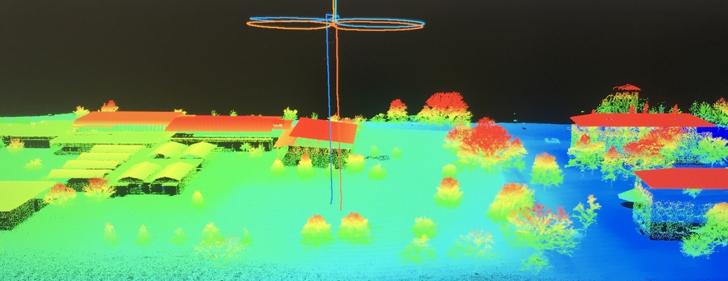
Novel Image Analysis Methods
Novel image analysis methods04-GEO-OMA19 Lecturerxxxxx xxxxxECTS5 ECTS Aim Students get to know the advantages and disadvantages of OBIA compared to pixel-based methods, especially in the processing of high-resolution remote sensing data. Image segmentation...