Spatial Modelling and Prediction

Spatial Modelling and Prediction

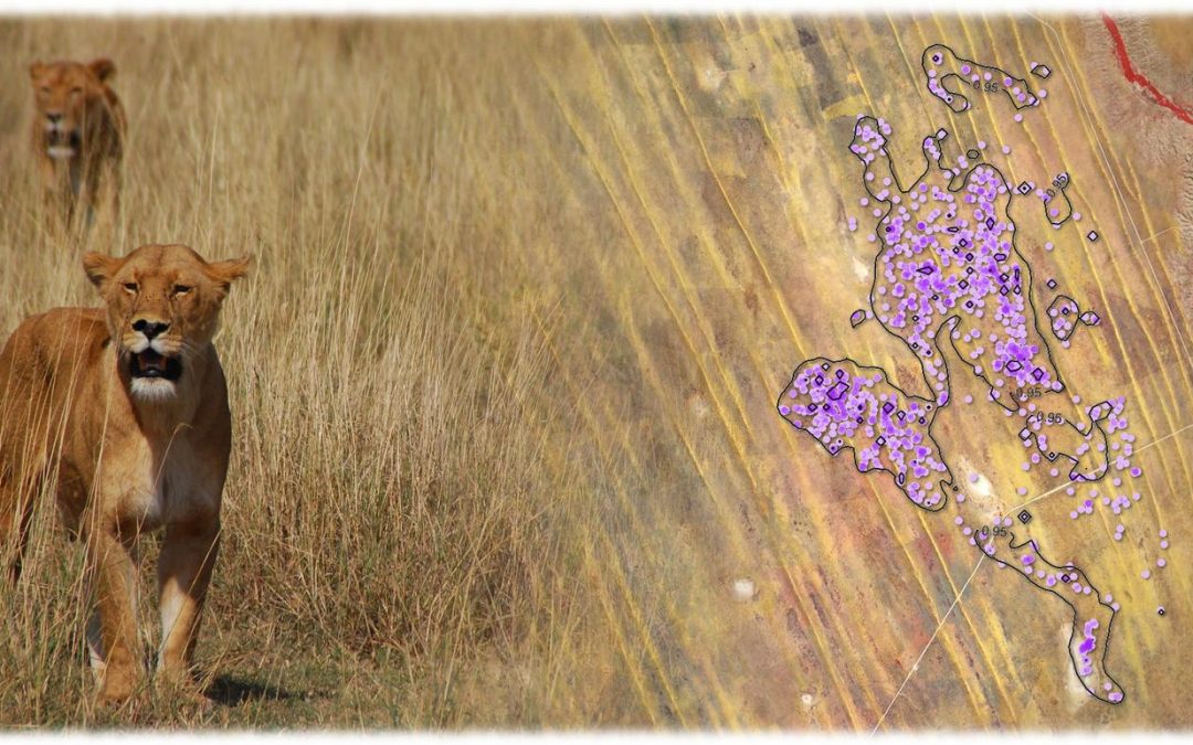
Spatial Modelling and Prediction04-GEO-OMA1 Lecturer Martin Wegmann ECTS 5 ECTS   Aim: Within this course different methods to analyse point pattern statistically and conduct a spatial prediction are covered. Students will learn how to design such analysis, how...
Hyperspectral Earth Observation

Hyperspectral Earth Observation

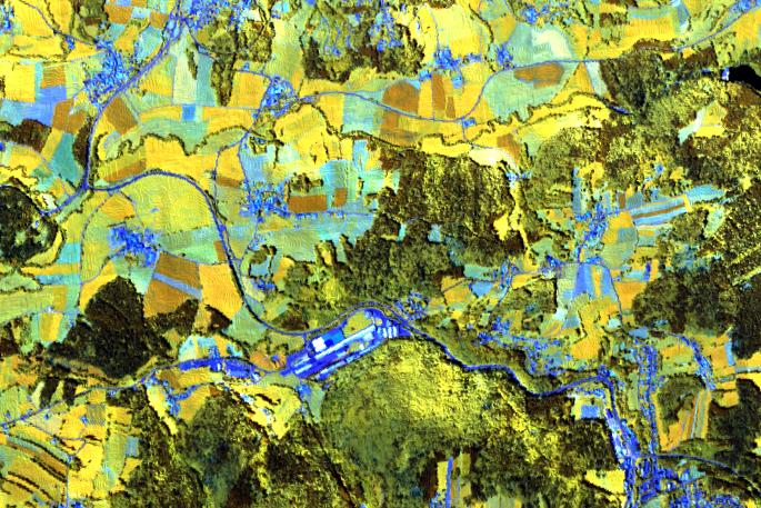
Hyperspectral Remote Sensing04-GEO-OMA5 Lecturer Martin Bachmann ECTS 5 ECTS   Aim Spectroscopy and hyperspectral remote sensing enables to retrieve very detailed spectral information about a certain surface in dense bandwith intervalls. Information on the...
Urban Remote Sensing

Urban Remote Sensing

Urban Remote Sensing04-Geo-URB2 Lecturer Henri Debray ECTS 5 ECTS   Aim Aim of this course is to provide you with an overview on geographic processes of urbanization, the related demographic and structural changes of cities, and data analyses methods using remote...
Object-oriented image analysis

Object-oriented image analysis

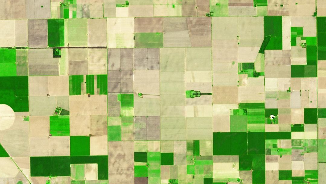
Object-oriented image analysis Lecturer Michael Wurm ECTS 5 ECTS   Aim In this course we will learn the alternative image analysis paradigm of object-based image classification. Image objects are areas in images which consist of pixels from the same land-cover...