
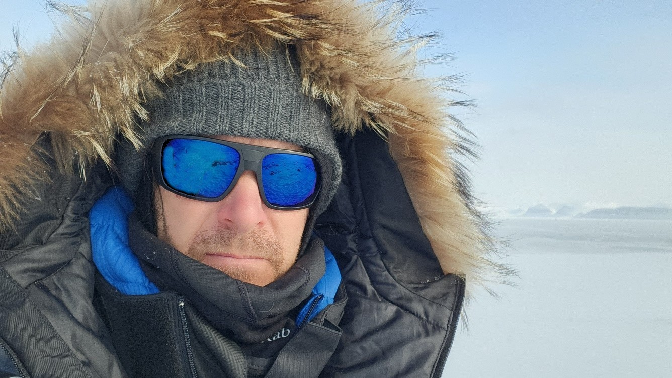
If you’ve ever sat in a Würzburg classroom learning how to wrangle satellite data, there’s a good chance Martin Wegmann was the one standing at the front. He’s been the driving force behind the EAGLE MSc program, the Applied Earth Observation degree at the University of Würzburg, and he didn’t just join it, he built it. He developed the program and has led it for 10 years now.
Within EAGLE, Martin doesn’t stick to one corner of the curriculum. He covers spatial coding and software, modeling and applications, and that’s just the short list. Look at the actual course catalog and you’ll find his name attached to things like Introduction to Programming and Geostatistics, Introduction to Spatial Data Analysis Software, Earth Observation in Biodiversity Research, Spatial Modelling and Prediction, plus the more communication focused courses like Scientific Presentation, Scientific Graphics, and Scientific Maps. So students get him for the coding fundamentals and for the “how do I actually present my research without making everyone fall asleep” stuff too.
Within EORC, Martin is kind of the heart of the EAGLE program, the guy everyone ends up knowing. After years of running things, he doesn’t just remember faces, he knows people’s academic backgrounds, what they’re into, what they’re working toward. Maybe it’s a quick chat about a half formed thesis idea, or pointing someone toward the right collaborator on a completely different project, or just saying the right thing at the right moment when a student’s confidence takes a hit. A lot of alumni will tell you that one conversation with Martin sent them down a research path they hadn’t even considered, or led to a collaboration nobody saw coming, or simply got them through a rough patch in their studies. All that adds up over time. There’s now a whole network of EAGLE graduates out there, working across academia, government agencies, NGOs and private companies, and quite a few of them can trace part of their path back to something Martin said at the right moment.
Before EAGLE even existed, Martin was already teaching remote sensing at the Global Change Ecology MSc program, GCE for short, a joint setup between Würzburg and Bayreuth. There he brought the same applied remote sensing approach to a slightly different crowd, students coming at environmental change from an ecology angle. Some of his former GCE students are now researchers at places like DLR, people like Sophie Reinermann, Alexandra Bell, Sarah Asam or Julian Zeidler.
And he hasn’t kept this teaching boxed into a lecture hall in Germany either, some of these courses have traveled with him to Africa and South East Asia as capacity building activities within different projects. He also founded AniMove.org and spent roughly ten years actively teaching remote sensing for animal movement ecologists there before shifting his focus more fully onto EAGLE.
One thing that runs through everything he teaches is his open source stubbornness, in the best sense. R, QGIS, GRASS, OTB, Blender, SAGA and more, that’s the toolkit, and he sticks to it because he wants students leaving with scientific software skills they can actually use afterward, without a license fee standing in the way.
That same philosophy is baked into his textbooks. Remote Sensing and GIS for Ecologists, published in 2016 with Benjamin Leutner and Stefan Dech, walks ecologists through applying remote sensing and GIS to their own research using nothing but open source tools. Then in 2020 he followed it up with An Introduction to Spatial Data Analysis, written with Jakob Schwalb-Willmann and Stefan Dech, which is basically the prequel for people who need to start from zero. It picks up right where total beginners are and hands them off exactly where the first book begins. Together the two cover the full arc, from never having opened QGIS to running proper ecological analyses with remote sensing data.




![[Spotlight] Lecturer Spotlight: Julian Faeth](https://eagle-science.org/wp-content/uploads/2026/10/Julian_Faeth_EORC_EAGLE_2026-400x250.jpg)



