
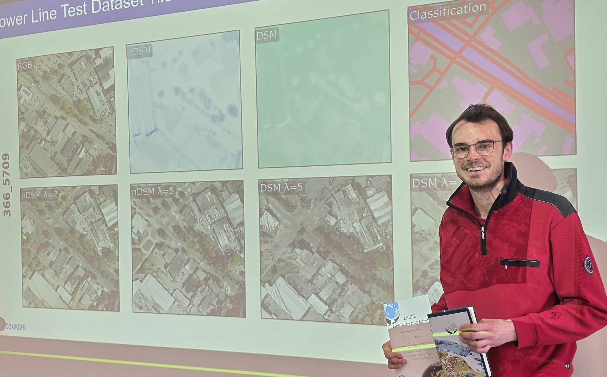
We are pleased to congratulate Georg Starz on the successful defense of his MSc thesis within the EAGLE programme. His work, titled “Synthetic High-Resolution Remote Sensing Image Generation – A Comparative Study of Model Training, Surface Data Variability and Evaluation Metrics,” represents a timely and relevant contribution to the evolving field of data-driven Earth observation.
In his thesis, Georg explored the potential of Generative Adversarial Networks (GANs) to create high-resolution RGB remote sensing imagery from surface models and land use/land cover (LULC) data. Using the German GeoNRW dataset, he implemented and compared four GAN variants, systematically analyzing how different training strategies and input data characteristics influence the quality of generated images. ()
A key strength of the study lies in its comprehensive evaluation framework. By combining expert-based visual ranking with eight quantitative metrics across multiple categories, Georg assessed not only overall model performance but also class-specific behavior across LULC types. Statistical analysis, including Spearman rank correlation, provided deeper insights into the consistency and reliability of commonly used evaluation approaches. ()
The results highlight important challenges and opportunities in synthetic data generation for remote sensing. In particular, the work addresses gaps related to model selection, parameterization, and the transferability of evaluation metrics—issues that are critical for scaling deep learning applications in Earth observation. By systematically comparing approaches, the study contributes to a more robust understanding of how synthetic datasets can support downstream tasks such as classification and mapping.
Supervised by Prof. Dr. Tobias Ullmann and Dr. Thorsten Höser (DLR), the thesis reflects the interdisciplinary and application-oriented spirit of the EAGLE programme. It also underscores the growing importance of synthetic data as a means to overcome limitations in training data availability.
We congratulate Georg on this achievement and wish him all the best for his future endeavors in remote sensing and geospatial data science.




![[Spotlight] Lecturer Spotlight: Julian Faeth](https://eagle-science.org/wp-content/uploads/2026/10/Julian_Faeth_EORC_EAGLE_2026-400x250.jpg)



