Aim
Within this course EAGLE students are exposed to different disciplines and interdisciplinary research.In collaboration with biologists and conservationists new and established approached are discussed and explored by the students in order to define the research goal. The practical analysis is conducted by the students and presented with the collaborators being present.
Content
The students will be introduced to interdisciplinary research and the relevance of clear communication, deliverables and milestones. In a second step they will be linked to different collaborators from other fields and will have the task to define work packages that are feasible within the course time-frame. The actual data analysis will be done as well but the primary goal is not the data analysis but the communication with the other disciplines and being able to provide relevant spatio-temporal information for such a test interdisciplinary project.
Discussions
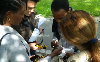
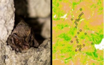
learning how other disciplines collect field data, what their properties are, what their research questions are
Planning
learning how to plan an interdisciplinary project
Coding
Present
present your research findings to the collaborators
General Course News and Updates
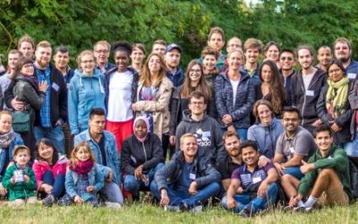
EAGLE summer dialogue 2018
Our 2018 EAGLE summer dialogue took place last Friday, 22nd of June and was a great place to meet all students, lectures, staff of the department and quite some external guests from all around Europe.
Internship and Innovation Lab presentations
Today some of our EAGLE students presented their internship and innovation laboratory projects. Very interesting topics and they obviously applied and deepened their remote sensing knowledge a lot. Julia Sauerbrey: Prediction of Organic Matter Content from Sentinel-2...
application deadline is approaching – May 15th
the application deadline for our next term of the international M.Sc. program EAGLE “applied Earth Observation and Geoanalysis of the Living Environment” is approaching. Application for the upcoming winter term are accepted until May 15th
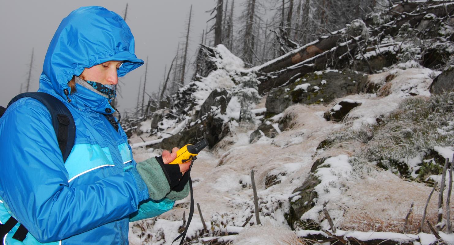
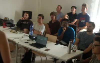
EAGLE students learn remote sensing field work
The course "from field work to spatial data" by Tobias Ullmann and Martin Wegmann is covering the whole range of field campaign planning and especially training all necessary methods such as GPS handling, coordinate systems, setting waypoints or finding locations. In...

MSc thesis started by Jakob Schwalb-Willmann
Jakob Schwalb-Willmann just started his M.Sc. thesis titled "A deep learning movement prediction model using environmental data to identify movement anomalies". He will combine animal movement and remote sensing data in order to develop a generic, data-driven DL-based...
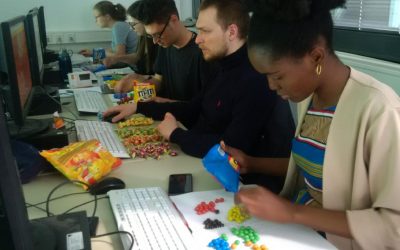
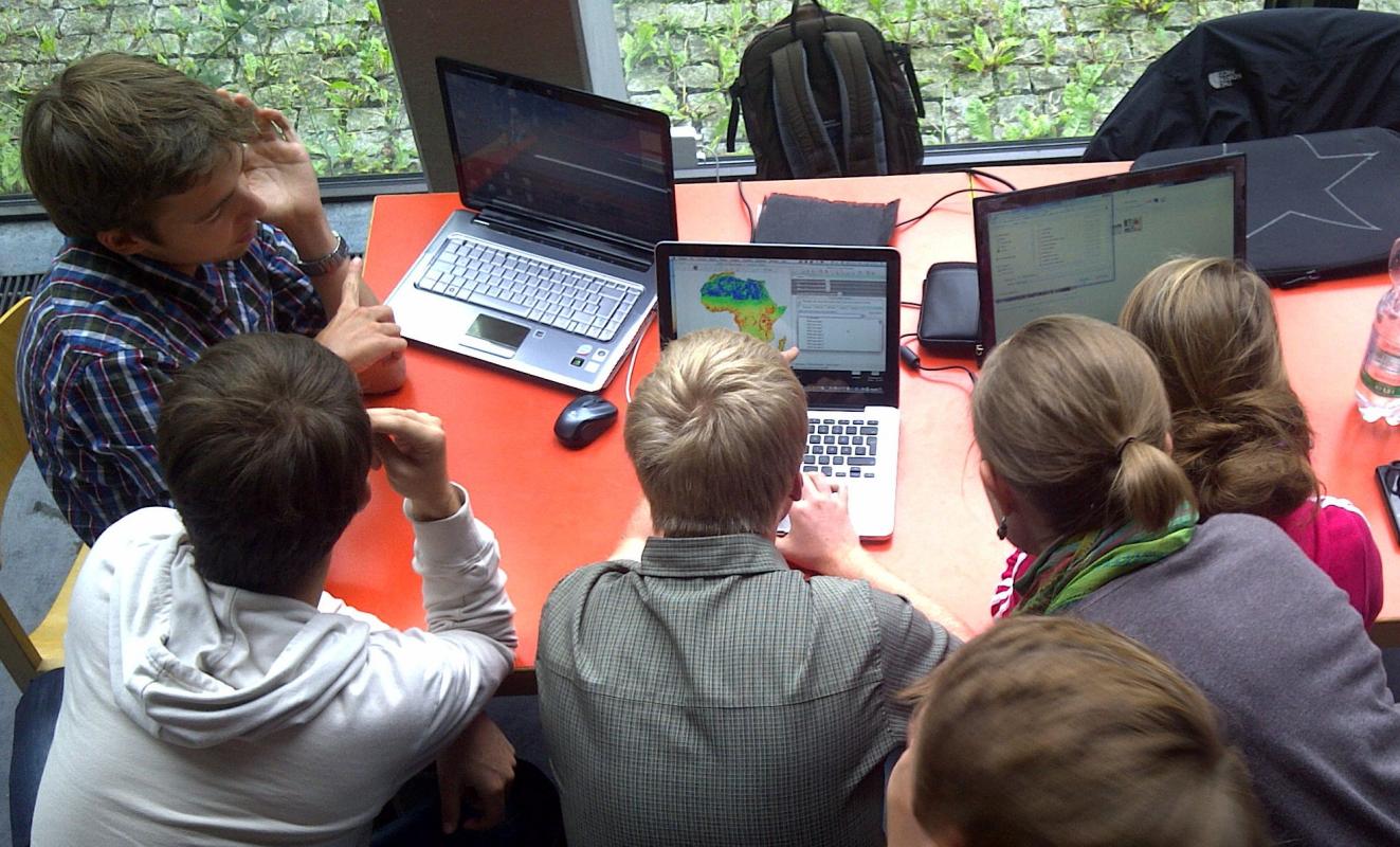
EAGLE students coding with sweets
Today our EAGLE students applied data munging, pipes, plotting and statistics using colour distribution of sweets. They specifically used the dplyr, ggplot, kableExtra and others to compute derivatives, rearrange the data, plot it and run statistics on colour...
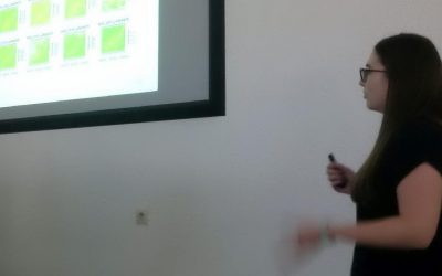
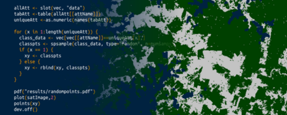
Final presentations of the remote sensing programming course
The final project presentations of the spatial coding course by the EAGLE students revealed quite some impressive analysis achieved within the last couple of months. All analysis were done using R and presentations created within R using knitr. The aim was to run a...
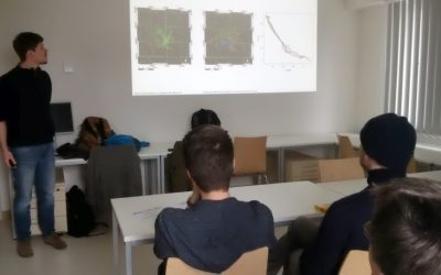
internship and innovation laboratory presentations
The following internship and innovation laboratory projects were presented today: Karsten Wiertz did his internship at the Białowieza national park on "Spatio-temporal analysis of tree mortality and gaps in the Białowieza Forest using high resolution imagery". Jakob...
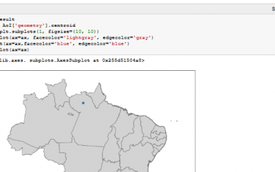
Spatial Python block course
Last week Steven Hill and Thorsten Dahms gave a course that introduced EAGLE students to Python-based spatial data analysis. The advantages and challenges of different python libraries, data sets and methods were covered in hands-on exercises and also discussed...
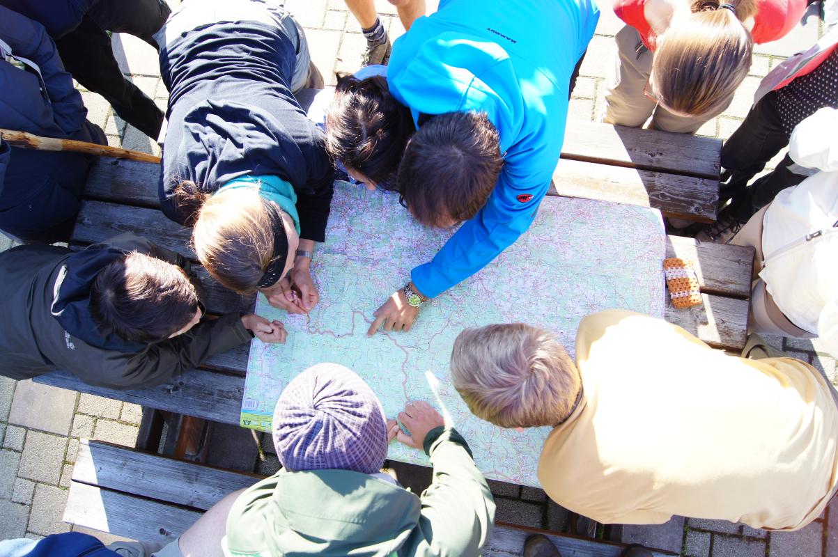
Interdisciplinary course in the Bavarian Forest
The Bavarian Forest and the Bohemian Forest together form the largest contiguous forest area in central Europe, which is of an extraordinary importance for the protection and maintenance of biological diversity. Since 1970, a large area of the forest is protected as a...