Aim
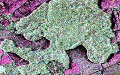
Spectroscopy and hyperspectral remote sensing enables to retrieve very detailed spectral information about a certain surface in dense bandwith intervalls. Information on the “spectral fingerprints” of surfaces is then available in a near-continuous manner. This allows for the differentiation of materials, such different geologic surfaces, different urban materials, or plants of different composition and vigor. Especially field- and laboratory spectroscopy has shown many benefits, as measurements can be carried out in a controlled environment, and can be directly visualized and explained. This course provides you insights into practical experiments using a field spectrometer, and subsequent data analysis to assess key environmental parameters such as plant health, soil moisture content, and geologic composition.
Content
The content of this course includes both the theoretical background of field and imaging spectroscopy, as well as practical experiments and subsequent data analysis. In particular, we will adress: the theoretical background of field and imaging spectroscopy / general reflectance and transmittance properties of plant leaves, canopies and soils / the quantification of biophysical and biochemical properties using spectroscopic measurements, feature parametrization and regression analysis / the advantages and challenges of existing and planned hyperspectral spaceborne sensors
Coding
Software
Techniques
Content
General Course News and Updates
Internship and M.Sc. idea presentations
on Thursday, December 13th, at 12:30 we will have the following presentations in the student working room (Josef Martin Weg 52, 3rd floor): internship presentations: Johni Miah"Remote Sensing and Geographic Information System for Decision...
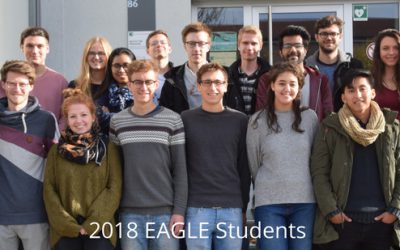
New 2018 EAGLE students now online
Web presence of you new EAGLE students is online. Our new 2018 EAGLE students created their own webspace in order to present the group and each student individually. Have a look who started EAGLE this year, read about their background and interests - and especially...
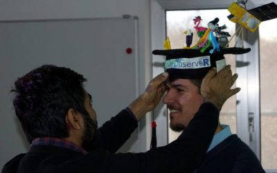
M.Sc. graduation by Jakob Schwalb-Willmann
Congratulation to Jakob Schwalb-Willmann who successfully graduated today! His M.Sc. topic was "A deep learning movement prediction framework for identifying anomalies in animal-environment interactions" aiming to explore the potential of animal movement...

EAGLE welcome 2018
Our new EAGLEs arrived! We welcomed our new international EAGLE students from the US, Ecuador, Bangladesh, Ruanda or Germany for the upcoming winter term and introduced the lectures as well as the courses. In the evening we had a joint dinner to get to...

EAGLE M.Sc. idea presentations
On Monday, 24th of September from 1:30 onwards the following EAGLE students will present their M.Sc. idea. Everybody is welcome to join their presentations and to provide feedback: Julia: "Time-Series Analysis of Sentinel-1 and Sentinel-2...

EAGLE Internships
On Monday, 24th of September, at 1pm the following internship reports will be presented: Bharath: "Installation and Characterization of an imaging Spectrometer for the UAV-based remote sensing" Johannes: "Crop classification based on S1/S2 in...
New MSc thesis: Time series analysis in Colombian Orinoco Basin
Pilar Endara started her M.Sc. thesis on "Time series analysis of flooding and vegetation patterns in wetlands of the Colombian Orinoco Basin" The ecosystems that are present within Colombian Orinoquia flooded savannas are currently being threatened by conversion of...
Internship, Innovation Lab and MSc idea presentations
The following students presented their innovation labs, internships and ideas for MSc. thesis: Ahmed: Innovation Lab at DLR (team of Ursula Gessner) and Master Thesis Idea: Title: Status of Agricultural Lands in Egypt using Earth Observation Maninder (at DLR,...
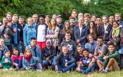
EAGLE summer dialogue 2018
Our 2018 EAGLE summer dialogue took place last Friday, 22nd of June and was a great place to meet all students, lectures, staff of the department and quite some external guests from all around Europe.
Internship and Innovation Lab presentations
Today some of our EAGLE students presented their internship and innovation laboratory projects. Very interesting topics and they obviously applied and deepened their remote sensing knowledge a lot. Julia Sauerbrey: Prediction of Organic Matter Content from Sentinel-2...