by EAGLE Team | Mar 8, 2016
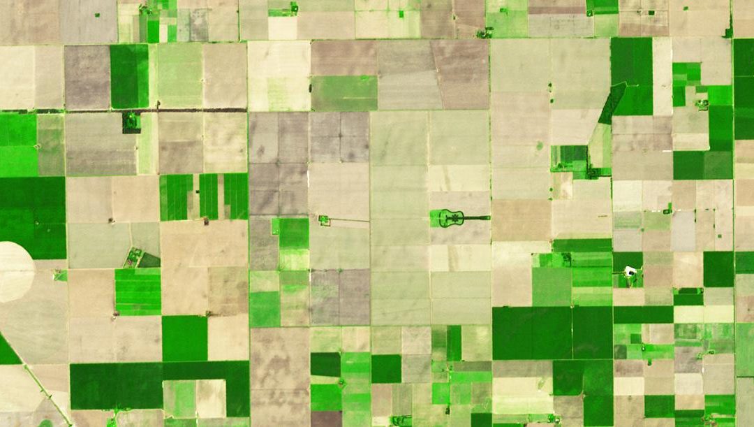
Object-oriented image analysis Lecturer Michael Wurm ECTS 5 ECTS Aim In this course we will learn the alternative image analysis paradigm of object-based image classification. Image objects are areas in images which consist of pixels from the same land-cover...
by EAGLE Team | Feb 27, 2016
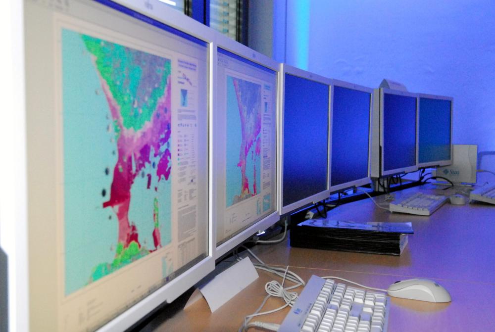
Excursion the Earth Observation Center (DLR-EOC) Lecturer Doris KleinTanja KrausClaudia Künzer and others Aim The excursion to the Earth Observation Center of the German Aerospace Center in Munich aims to outline the diversity of current remote sensing...

by EAGLE Team | Feb 17, 2016
LiDAR remote sensing Lecturer Hooman Latifi ECTS 5 ECTS Aim In this module you will gain a detailed understanding of the advantages and challenges of Earth observation using Light Detection and Ranging (LiDAR) systems. Compared to other types of remote sensing...
by EAGLE Team | Feb 3, 2016
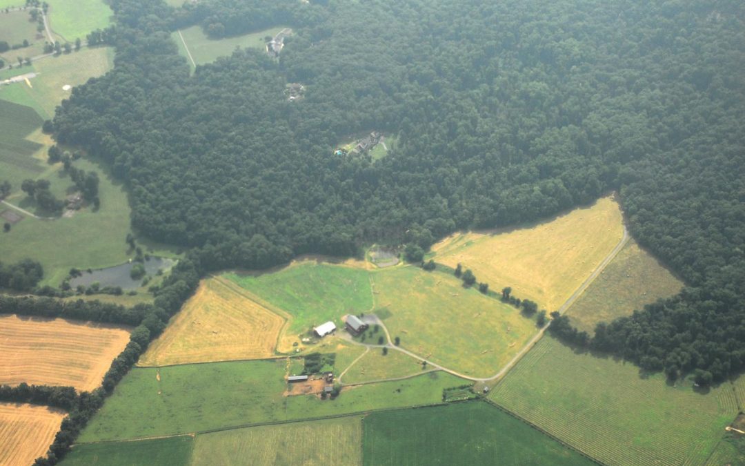
Applications of Earth Observation04-GEO-TB2 Lecturer Tobias Ullmann ECTS 5 ECTS Aim In this lecture you will gain a broad overview of the applications of remote sensing. Examples from different disciplines and applied Earth Observation projects will provide...
by EAGLE Team | Jan 17, 2016
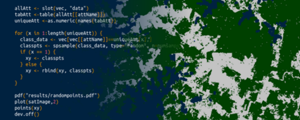
Introduction to Spatial Data Analysis Sotware04-GEO-MB1 Lecturer Martin Wegmann ECTS 5 ECTS Aim This course provides detailed knowledge of programming or coding using spatial data, especially for remote sensing and GIS tasks. Content Different spatial...