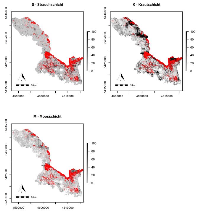
 The M.Sc thesis by Bastian Schumann focused on a LiDAR-based approach to combine structural metrics and forest habitat information for causal and predictive models of under-story canopy cover. The data base used consisted of a bi-temporal LiDAR dataset as well as two field datasets and two habitat maps. The entire data were initially edited, revealing that a bi-temporal treatment is only possible for under-story layers. The statistical models used for modeling canopy cover density included random forest, logistic models and zero-and-one inflated beta regression.
The results revealed the most relevant LiDAR metrics which contribute to explain the canopy cover density. Furthermore it indicates that the habitat types have a significant influence on canopy cover density. In addition, it was shown that with the use of a denser point cloud a higher performance can be achieved in almost every vertical stand layer.







![[spotlight] Lecturer Spotlight: Martin Wegmann](https://eagle-science.org/wp-content/uploads/2026/07/Martin_Wegmann_EAGLE_lecture_2026-400x250.jpg)