Aim
Within this course EAGLE students are exposed to different disciplines and interdisciplinary research.In collaboration with biologists and conservationists new and established approached are discussed and explored by the students in order to define the research goal. The practical analysis is conducted by the students and presented with the collaborators being present.
Content
The students will be introduced to interdisciplinary research and the relevance of clear communication, deliverables and milestones. In a second step they will be linked to different collaborators from other fields and will have the task to define work packages that are feasible within the course time-frame. The actual data analysis will be done as well but the primary goal is not the data analysis but the communication with the other disciplines and being able to provide relevant spatio-temporal information for such a test interdisciplinary project.
Discussions
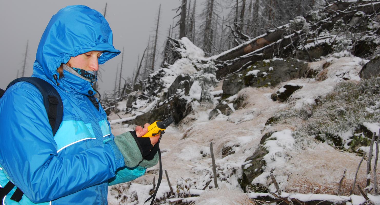
learning how other disciplines collect field data, what their properties are, what their research questions are
Planning
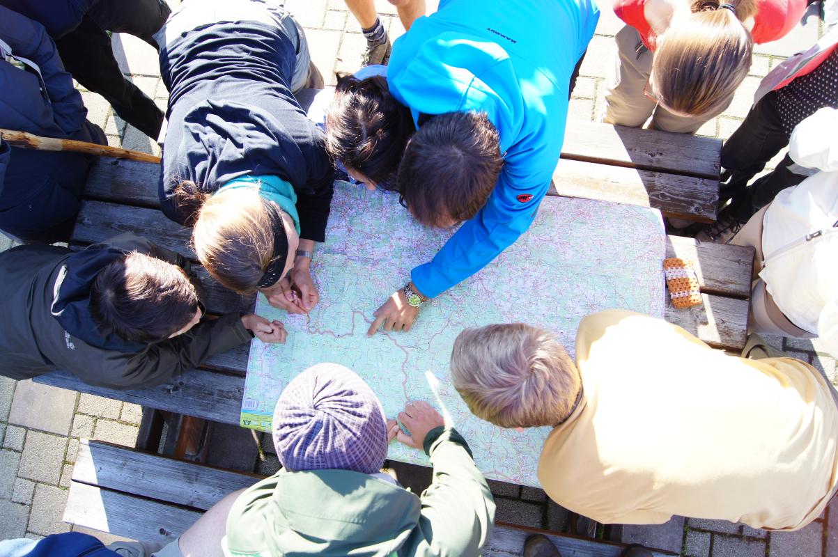
learning how to plan an interdisciplinary project
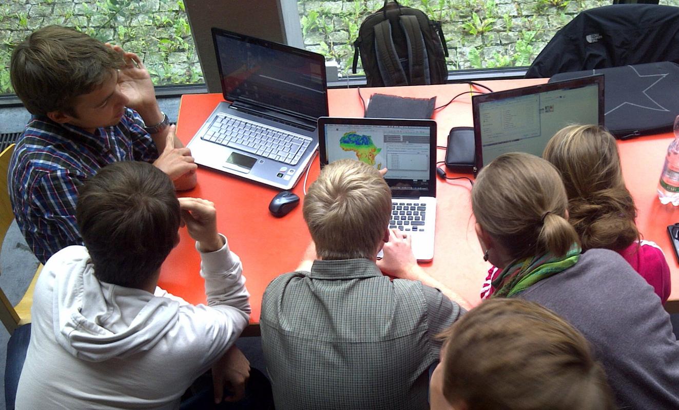
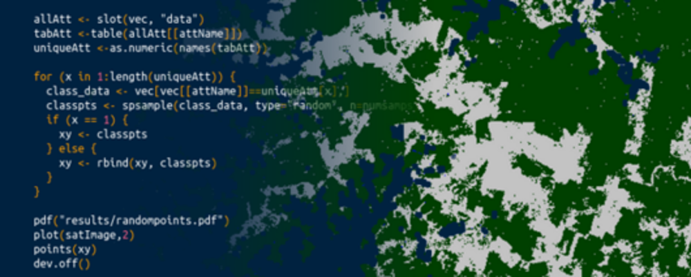
Coding
Present
present your research findings to the collaborators
General Course News and Updates
![[spotlight] Lecturer Spotlight: Martin Wegmann](https://eagle-science.org/wp-content/uploads/2026/07/Martin_Wegmann_EAGLE_lecture_2026-400x250.jpg)
[spotlight] Lecturer Spotlight: Martin Wegmann
If you've ever sat in a Würzburg classroom learning how to wrangle satellite data, there's a good chance Martin Wegmann was the one standing at the front. He's been the driving force behind the EAGLE MSc program, the Applied Earth Observation degree at the University...

EAGLE MSc Defense: Evaluating Surface Urban Heat Islands in Bavarian Cities through a Multi-Variable Analysis
On July 07, 2026, Farimah Abdolzadeh will present her Master Thesis on " Evaluating Surface Urban Heat Islands in Bavarian Cities through a Multi-Variable Analysis " at 13:00 at the seminar room 3 in John-Skilton-Str. 4a. From the abstract: Surface Urban Heat Island...

EAGLE Internship Presentation: ” Global Water Detection and Thermal UAV Data Analysis”
On July 14, 2026, Elena Scholz will present her internship results on " Global Water Detection and Thermal UAV Data Analysis" at 12:00 in seminar room 3, John-Skilton-Str. 4a. From the abstract: Internship 1 - DLR-DFD “Watersecurity and Coastal Systems” The majority...
EAGLE Internship Presentation: Svalbard
On July 07, 2026, Aoibhin Murphy and Marlene Sehrbrock will present her internship results on " Svalbard" at 12:00 in seminar room 3, John-Skilton-Str. 4a. From the abstract: Using thermal and RGB imagery collected via UAVs, we investigated the potential of thermal...

EAGLE MSc Defense: Machine Learning Inference of Building Basement Presence Using Street-Level Imagery and Multi-Source Geospatial Attributes: A Case Study of Mannheim, Germany
On July 01, 2026, Gökçe Yağmur Özcan will present her Master Thesis on " Machine Learning Inference of Building Basement Presence Using Street-Level Imagery and Multi-Source Geospatial Attributes: A Case Study of Mannheim, Germany " at 11:00 at the EORC...

EireR R package: unified gateway to Irish geospatial data
Anyone who's tried to do geospatial work across the whole island of Ireland knows the headache. Ireland is one island geographically, but it's split across two jurisdictions, the Republic and Northern Ireland, and each one runs its own data infrastructure. Different...

Impact of agrophotovoltaic facilities – an R package
There's a new R package on the block, and it's solving a problem that sounds simple until you actually try to do it: how do you tell whether putting solar panels over a farm field is good or bad for the soil and the crops around them? Marlene, one of our EAGLE...

Successful MSc Defense by Anna Bischof
We congratulate Anna Bischof on the successful defense of her MSc thesis, "Feasibility of Unoccupied Aerial System-Based Active Fire Monitoring in African Savannas." Anna's research addressed one of the key challenges in fire ecology and remote sensing: understanding...

EAGLE Internship Presentation: Fire and drought research in savanna ecosystems – Kruger National Park
On June 16, 2026, Sebastian Rothaug and Clemens Schömig will present their internship results on " Fire and drought research in savanna ecosystems – Kruger National Park" at 12:00 PM in seminar room 3, John-Skilton-Str. 4a. From the abstract: Climate change is...

EAGLE MSc Defense: Feasibility of Unoccupied Aerial System-Based Active Fire Monitoring in African Savannas
On June 09, 2026, Anna Bischof will present her Master Thesis on " Feasibility of Unoccupied Aerial System-Based Active Fire Monitoring in African Savannas" at 12:00 in seminar room 3, John-Skilton-Str. 4a. From the abstract: Fire is a fundamental Earth system process...